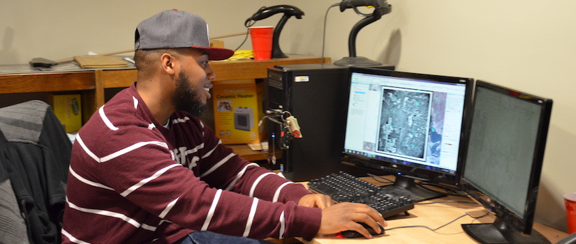
The Certificate Program
The GEOINT Certificate Program (GCP) at the University of South Carolina is administered by the Department of Geography in the McCausland College of Arts and Sciences. The existing range of technical geospatial and related courses within the Department of Geography meet the requirements for the core competencies of the GEOINT Certificate. Additional academic programs within the University of South Carolina provide supplemental technical and analytical courses that can augment and complement the GCP curriculum. All these courses ensure that students in our GCP are exposed to a wide variety of geospatial intelligence issues and problems.
Eligibility of a student in the GCP is established by admission to the university for any undergraduate program. The certificate requires a minimum of 21 credit hours of approved coursework. The student’s cumulative average GPA must be a minimum of B (3.0 out of the 4.0 system) for all courses counting toward the GCP, with no grade lower than a C on any single program course.
Required Coursework
9 credits total
- GEOG 263: Intro to GIS (3)
- GEOG 341: Cartography (3)
- GEOG 345: Intro to Remote Sensing (3)
6 credits total
- GEOG 531: Quantitative Methods in Geographic Research (3)
- GEOG 541: Advanced Cartography (3)
- GEOG 551: Principles of Remote Sensing (3)
- GEOG 552: LiDARgrammetric and Photogrammetric Digital Surface Mapping (3)
- GEOG 554: Spatial Programming (3)
- GEOG 563: Advanced Geographic Information Systems (3)
- GEOG 564: GIS Based Modeling (3)
- GEOG 565: GIS Databases and Their Use (3)
3 credits, 300-level or higher, to be approved. Course must involve spatial data analysis and be selected from the following areas:
- Computational and analytical methods (e.g., statistics, computer science, programming, math)
- Political and cultural studies (e.g., political science, international studies, human and regional geography)
- Visualization and data representation (e.g., geovisualization)
- Natural sciences (e.g., geology, marine science, environmental science, environmental studies)
- GEOG 495 Seminar in Geography (3) –or–
or equivalent semester-long approved independent study project involving significant geointelligence-related work
If you have any questions about the requirements, please contact either of the GCP
directors: Prof. Susan Wang or Prof. Carl Dahlman.
The Application Process
To receive the certificate, at least one semester prior to graduation, you must submit
the GEOINT application form [pdf] to one of the GPC directors. The GCP directors will evaluate the list of courses
and, upon completion of all requirements and the undergraduate dregree, will certify
to the USGIF that you have met the GEOINT requirements. If approved, the USGIF will
mail the certificate to you within 1–2 months of graduation.
More Information
Questions?
Please contact one the the USC GEOINT directors for more information about the program.
- Dr. Cuizhen (Susan) Wang, Professor
Department of Geography
Phone: 803-777-5867
Email: cwang@mailbox.sc.edu
- Dr. Carl Dahlman, Professor
Department of Geography
Phone: 803-777-5234
Email: carl.dahlman@sc.edu
